
Norwich Township Neighbors by Parcel
The public record around a Norwich Township address is parcel-centered. A map can identify land next to the target parcel. The Auditor can supply property context for each selected parcel. The Recorder can test whether a land document uses the same legal description. Those steps can show nearby property records, but they do not produce a household list or establish that an owner is a current neighbor. The official records below answer different, limited questions about a block.
| Source | What It Shows About a Block | Access |
|---|---|---|
| Franklin County Auditor Parcel Viewer | Mapped parcel boundaries, layers, identification, measurement, and nearby selected parcels. | Public viewer with search, selection, and map tools. |
| Auditor Property Search | Parcel, situs, owner record, transfer-oriented context, and mailing fields for an identified parcel. | Public property search; owner and situs can differ. |
| Franklin County Recorder | Recorded parties, documents, dates, and legal descriptions for one land trail. | Cloud and legacy search routes; a street address is not the index key. |
| Ohio voter lookup | Individual registration, precinct, and polling-location help after a name and county search. | Individual service, not a public block browse. |
| City civic resources | Organizational and community contact pathways. | Public resource pages; not membership or residence evidence. |
A property owner's mailing address may differ from the situs address, which is the land's physical location in the property record. A recorded party may be a past seller or buyer. A library directory can list a historical occupant for a particular edition. None of those facts identifies every person at a nearby address. That distinction matters especially where Hilliard, Columbus, Dublin, and unincorporated Norwich Township records can meet around the same mailing area.
Mapping a Norwich Township Block
The Parcel Viewer provides a documented way to study the immediate land around one address. Its By Spatial tool does not guess who someone's neighbors are. It starts from a known parcel, applies a chosen distance, and selects parcels based on a stated map rule. A small buffer can still cross a street, reach a corner parcel, or touch a large parcel. Measure the area and read road and parcel layers before calling a selected parcel nearby.
- Find the target parcel by address, parcel identifier, or map. Use Identify or Search Parcel Data to confirm the starting parcel.
- Open By Spatial, enter a measured distance, and apply the buffer to the target parcel.
- Choose parcels wholly within the buffer or parcels intersecting it. Record which choice was used because the result sets can differ.
- View the results, identify each selected parcel, and open Property Search where the property record needs confirmation.
- For a land-boundary question, compare the parcel's legal description with the Recorder document before treating two similar addresses as the same property.
The practical flow is target parcel, Parcel Viewer By Spatial, measured buffer, within or intersecting selection, identify and property detail, then Recorder legal description. It is a map method, not a social map. For a full street-wide address chain rather than a small radius, use the Norwich Township Street Directory.
Note: A parcel inside a buffer is close on the map, not proof of a social relationship or current residence.
Norwich Township Recorder Boundaries
A Recorder search keeps nearby parcels separate when a street number, mailing city, or block label is not enough. The Recorder indexes recorded parties and documents, not ordinary street addresses. From a selected property detail, keep the parcel identifier, lot or subdivision, and legal description in view. Locate the current acquisition as a recorded instrument, compare the grantor, grantee, recording date, document number, and legal description, then follow the prior party only when the land description continues to match.
The modern deed index begins January 2, 1914. The Recorder's historical route handles 1804 through 1913 through named indexes. That date split matters when an old map, directory, or family note uses a description that does not match a modern address. A parcel edge or large tract can create the appearance of one neighborhood while the recorded land trail shows several distinct properties.
Parcel Viewer search, layers, measurement, and identify tools lead from geography to the property-search record. The Recorder supplies the legal-land check. Neither record gives a roster of people at the address.
Norwich Township Voter Lookup Limits
Ohio My Voter Information requires First Name, Last Name, and County. For a Norwich Township record, the county is Franklin. The result is designed to check an individual's registration and provide precinct and polling-place help. It is not a public way to browse a street or build a block list. The street-name narrowing control appears only after the individual-oriented search flow and does not change that limit.
Ohio law protects confidential voter information and protected participants. A missing result is not evidence that a person does not live nearby, and voting history does not reveal ballot choices. The Franklin County Board of Elections is the proper local route for a registration question, precinct-boundary issue, or a narrowly framed public-records request for an existing record. Do not ask the Board to compile a street roster.
The Franklin County elections source provides the contact path for individual election-record questions.
Norwich Township Civic Neighbor Routes
Community contact is not the same as a personal directory. Hilliard maintains a working list of HOA leaders, community representatives, and other contacts for municipal updates, but intentionally does not publish that list. The correct public route is to contact the City when a community pathway is needed. That boundary avoids turning civic coordination into a way to identify individuals around an address.
| Public pathway | What it can provide | Limit |
|---|---|---|
| Hilliard neighborhood contacts | City process for reaching a community contact route. | The working contact list is not published. |
| Hilliard resident resources | Links to civic, historical, cultural, and community organizations. | Listing an organization does not show its members or nearby residents. |
| Hilliard Historical Society or Chamber | Organizational history and public community contact options. | Not a block roster or a residence record. |
| Named voluntary associations | History or official organization contact for River Landings, Heritage Lakes, or Trabue Woods where available. | No affiliation should be inferred from a parcel or name. |
The Hilliard civic resources source presents civic pathways without claiming they represent every resident. That is useful for a neighborhood history question or a general community contact, but it should never be treated as evidence of who is on a block.
Official Norwich Township Neighbor Records
Official records identify their custodian, record type, and limits. A compiled commercial neighbor-search category may combine old listings, address data, and other sources, but it is not the office that maintains the underlying parcel, deed, court, or election record. When a compiled result conflicts with an official record, verify the official record at its source and consider the date, legal description, and privacy restrictions.
| Record approach | Useful for | Cannot establish |
|---|---|---|
| Official parcel, property, and Recorder records | Land identity, recorded parties, and property-record context. | Every current household member or a social-neighbor relationship. |
| Individual voter lookup | A person's registration, precinct, and polling-place check. | A public block roster or ballot choice. |
| Compiled commercial neighbor-search category | A lead that still needs source verification. | Custodial accuracy, current presence, or protected-address status. |
Use a source's own access route when a fact matters. The county office, court, or election custodian can explain whether a record exists, whether a copy is public, and whether a correction or narrowly tailored request is appropriate.
Norwich Township Safety Search Limits
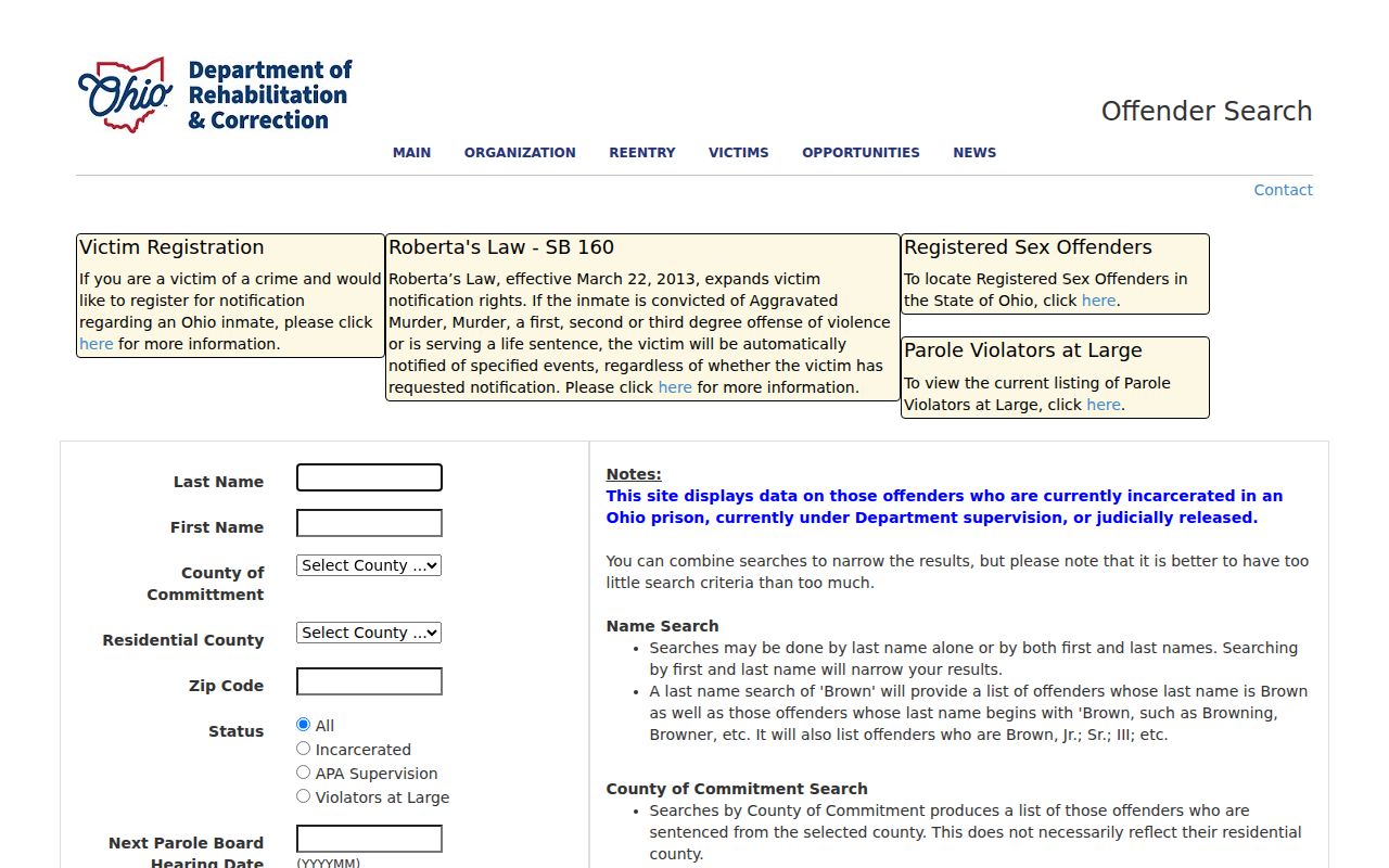
The Ohio Department of Rehabilitation and Correction maintains a separate Offender Search route. It is not a neighborhood directory or a complete criminal-history index. Custody status can change, and a name result, an old address, release information, or no result cannot establish present Norwich Township residence or identity. For official information questions, ODRC directs general family and offender inquiries through its contact channels.
The Ohio offender-search source should be read with its current instructions and used only for lawful personal safety awareness. Do not copy results into a block list or use them to contact, watch, threaten, or harass anyone.
Norwich Township Neighbor Privacy
Norwich Township neighbors can be protected by rules that no map can overcome. Ohio Safe at Home gives eligible participants a substitute address for voting and official correspondence, and ORC 111.43 allows a real-property confidentiality notice with the Recorder. A protected address may be absent or redacted from a public-facing record. That is why no missing property or voter result proves that a person has moved away or is not present.
Utility customer lists, delivery data, private association lists, and protected voter information are not public block records. Ohio's voter rules also protect items such as identification numbers, contact information, and confidential-voter data. A map selection should stay a property-research tool. Use the custodian or a city community route for a specific, legitimate question, and allow lawful redactions.