
Norwich Township Street Directory Route
Norwich Township is researched through Franklin County systems even when an address carries a Hilliard, Columbus, or Dublin mailing identity. Begin with the Franklin County Auditor Address Search. It separates a street number, directional prefix, street name, and unit-style component. The resulting property record supplies the parcel route. A Norwich Township street directory is most useful when it connects a visible address to a documented land record, rather than guessing a list of everyone connected with that street.
- Enter the complete address and check the returned parcel or building match.
- Record the parcel ID, situs, owner-record name, transfer clues, and legal-description clues.
- Use the Parcel Viewer to identify the mapped parcel and jurisdiction.
- Locate the Recorder acquisition document and match its legal description to the parcel.
- For a historic occupant clue, check the library street-address directory section.
The sequence is important. A current owner field, a recorded party, and a printed occupant entry are three different record facts. Each part of this by-address method has a date and limitation. That is why a parcel match should be retained before moving to a deed or historical directory.
- Parcel
- A county identifier for a piece of land that connects an address with property records.
- Situs address
- The physical land or building location recorded for a parcel.
- Legal description
- The lot, subdivision, or other land language used in a recorded instrument.
- Criss-cross directory
- A directory section arranged by street address rather than alphabetically by name.
Norwich Township Address Search Fields
The Auditor Property Search is the front door for a modern Norwich Township street directory request. Its navigation has several routes, so select the field matching the information already known. An exact address is stronger than a broad name match for a street question. The Auditor API documentation confirms that owner searching finds a name at any position in an owner list and address searching includes parcel and building addresses.
| Auditor route | Street research use | Limit |
|---|---|---|
| Owner Name | Checks a property-roll name. | Partial names can be ambiguous. |
| Address | Matches street number, prefix, street, and unit data. | No publicly verified ZIP field. |
| Parcel ID | Opens the identified land record. | Review partial matches carefully. |
| Subdivision & Condo | Connects an address to a plat identity. | Not an occupancy list. |
| Advanced, Map, Intersection | Alternate geographic narrowing paths. | Confirm in property detail. |
Nonexact parcel searches can return up to 500 results under the Auditor instructions. Start narrowly and retain the parcel ID. The Auditor API documentation explains the county address and owner query behavior.
The official Auditor API documentation shows the address and owner-query context used for property records. 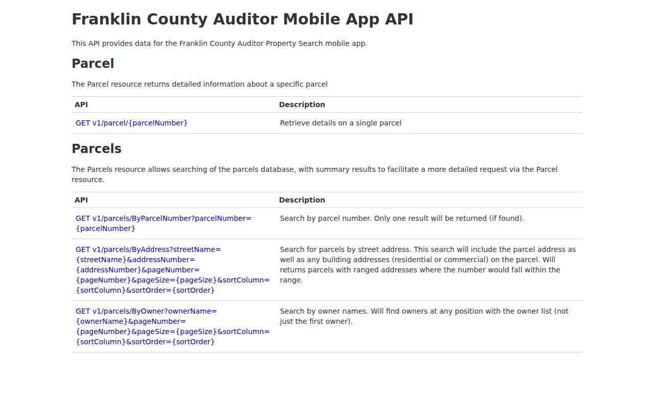
The interface supports an address-to-parcel workflow, but it does not convert a property result into a household record.
Norwich Township Parcels by Street
The Franklin County Auditor Parcel Viewer adds the map check a text result lacks. Its manual documents searches by value, shape, and spatial buffer. By Value can use parcel ID, subdivision or condominium name, annexations, and special tax districts. By Shape selects mapped records inside a drawn boundary. By Spatial begins with a known parcel, adds a distance, and lets the user choose parcels wholly within or intersecting the buffer.
For a Norwich Township street segment, identify one parcel, inspect its outlines and layers, then open each needed property record individually. Identify can select a point, line, or polygon and links an identified parcel to Property Search. Measure, draw, export, basemap, legend, bookmarks, and imagery document geography. They do not identify every occupant along the street.
The current township and road-administration footprint is 2.50 square miles, while the Census Norwich township county-subdivision geography is much larger. Check the map layer and parcel jurisdiction before selecting a records office.
Norwich Township Deeds by Address
The Franklin County Recorder public-records search is the title side of the street directory. Use the Auditor result to find an acquisition instrument, then compare parties, date, document or book-page identifier, and legal description. A modern address may not appear in an older deed. The land description, not a street string, keeps the chain tied to the same parcel.
The Recorder's historical division changes the research method. The deed index begins January 2, 1914, and named historic indexes reach 1804 through 1913. Modern cloud or legacy searching is only one part of a longer title trail. Once a buyer's deed is confirmed, search the seller as an earlier buyer and repeat the legal-description check. Registration is optional for Recorder search systems; staff, the counter, and a focused request are alternatives when an online index is not enough.
The Recorder is at 373 S. High St., 18th Floor, Columbus, Ohio 43215, and normally is open Monday through Friday, 8:00 a.m. to 4:00 p.m., with recording intake ending at 3:45 p.m. Call 614-525-3930 or check current copy and certification information before ordering an image.
Norwich Township Street Record Coverage
Address-keyed sources answer different questions. A sound Norwich Township street directory result records the source, date, parcel, and limitation alongside the finding. The table separates current property context from a legal title trail, a local process record, and a historical listed-occupant clue.
| Record source | Address result | Access and limit |
|---|---|---|
| Auditor detail | Parcel, situs, owner record, property and transfer context. | Portal, phone, email, or counter; not all occupants. |
| Parcel Viewer | Parcel location, layers, adjacent or buffered parcels. | Public viewer; map selection is not household data. |
| Recorder instrument | Parties, document data, legal-description trail. | Cloud, legacy, historic index, counter, or narrow request. |
| Treasurer tax route | Tax-year and parcel billing context. | Treasurer search; does not prove occupancy. |
| Permit or zoning file | Specified property work or case chronology. | Custodian depends on confirmed jurisdiction. |
| Library directory | Listed occupant for a stated edition. | Digital collection or Main Library; not necessarily owner. |
Ohio's voter tool requires a first name, last name, and county. A later street-name narrowing control does not make it a public street roster. For an individual registration question, use Ohio My Voter Information or contact the Franklin County Board of Elections for a narrow, lawful records question.
Norwich Township Street Permit Jurisdiction
Determine jurisdiction before seeking a permit or zoning file. No searchable township-wide permit or code-enforcement index was verified. For unincorporated Norwich Township zoning, Franklin County Planning & Zoning is the confirmed channel. It identifies Kimberly Godfrey as Norwich Township zoning officer and says a zoning certificate is required before construction, alteration, or change in use.
Franklin County Planning and Zoning describes the county route for unincorporated Norwich Township parcels. 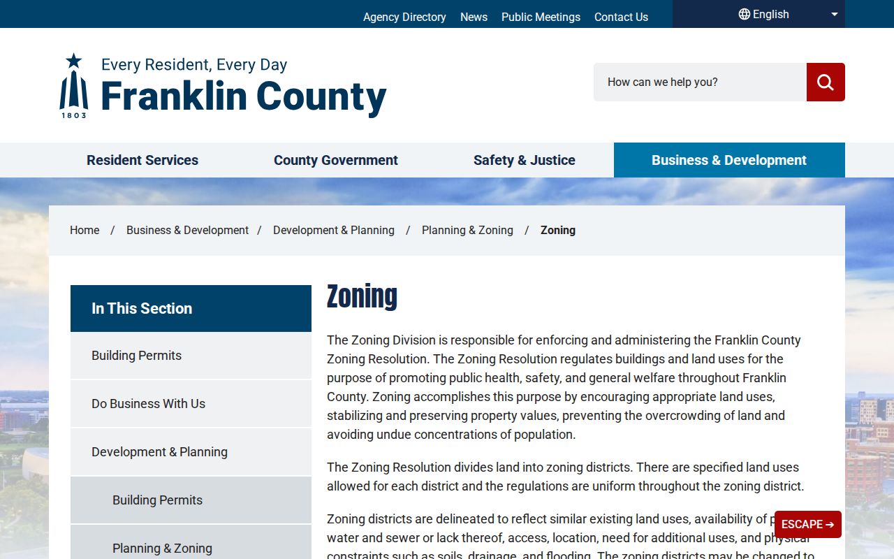
A zoning file can establish a property process and its issuer. It should not be treated as a list of people on a street.
For Hilliard parcels, use Hilliard Building Standards, which identifies OpenGov applications for construction and alteration, plan review, water, sewer, drives, planning certificates, and inspections. Columbus Building and Zoning may apply only after the Parcel Viewer confirms a Columbus parcel. When no portal result exists, request a stated address, record type, and date range from the correct issuer under Ohio Public Records Act procedures.
Hilliard Building Standards shows the municipal process used after parcel jurisdiction is confirmed. 
A mailing city or ZIP cannot choose between the county and municipal channels.
Norwich Township Street Lots
A street address aids delivery and location, but a parcel identifier and legal description identify land for conveyance. For an unincorporated lot split, Franklin County's subdivision process calls for the existing property address and abutting-street information. Survey and legal-description review, Auditor parcel assignment, and Recorder recording complete the land-record connection.
Franklin County subdivision information shows why a street result must be paired with a lot or legal description. 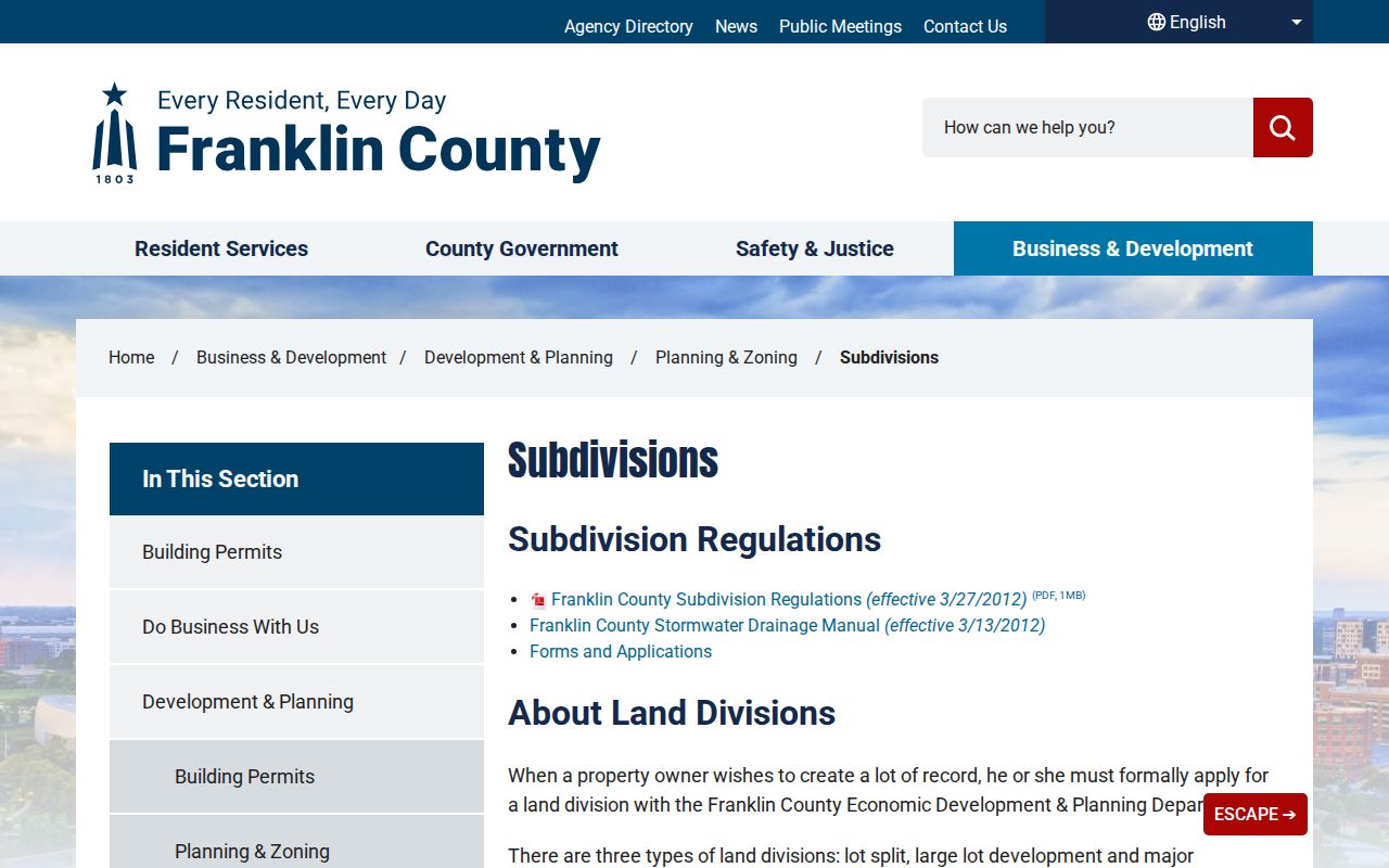
This link is valuable when a deed omits a modern street number or an address result is vague.
Norwich Township Historic Street Entries
Columbus Metropolitan Library provides the historical occupant layer that property records lack. Its city directories reach back to 1841, and documented volumes add a by-street section in 1911. Confirm that the year and volume cover the Norwich Township or Hilliard address, then compare the entry with the alphabetical listing, nearby editions, census material, and the deed chain.
A directory lists an occupant, not necessarily the owner. Rural or annexed sections may be absent. The Directory Book has the collection-focused route for reading the historical volumes. No official Norwich Township renumbering project was located, so compare legal descriptions and historic maps before declaring an address changed.
Limits of Norwich Township Street Records
A parcel entry does not name every person at a location. A deed records land parties, not a complete residence picture. The voter self-service search is individual-oriented, while protected voter fields and Safe at Home participants cannot be reconstructed from other sources. Driver-license, utility, delivery, and private membership information are not public street-directory records. A missing online result is a reason to use the correct custodian, library, or archive, not proof that no one lived there.