
Norwich Township ZIP Code Coverage
Four ZIP codes were confirmed in Franklin County Auditor records labeled Norwich Township. They are USPS delivery routes, not civil borders. The table retains the postal reference and the jurisdiction caution that makes each ZIP useful in a Norwich Township ZIP code directory.
| ZIP | Areas Covered | Post Office | Notes |
|---|---|---|---|
| 43016 | Norwich Township and Hilliard City examples, including Vinings Grove and Wilcox Road. | Dublin Post Office | A Vinings Grove record has a Dublin mailing city in the Hilliard/Norwich context. |
| 43026 | Unincorporated Norwich Township and Columbus City/Norwich Township examples. | Hilliard Post Office | Spans unincorporated and municipal conditions. |
| 43221 | Unincorporated Dublin Road and Hilliard City/Norwich Township examples. | Upper Arlington Post Office | A Columbus-style mailing ZIP does not prove Columbus jurisdiction. |
| 43228 | Columbus City/Norwich Township and unincorporated examples. | Columbus Post Office | Postal city and property jurisdiction can differ. |
Research found no township-wide master ZIP-boundary table, Norwich-specific split or realignment year, PO-box-only assignment, or unique ZIP assignment. Confirm the delivery code from a complete address rather than extending a general ZIP label to every parcel.
Norwich Township ZIP Code Verification
Begin a postal question with the USPS ZIP Code Lookup. Enter the actual delivery address and retain the result as postal information only. USPS warns that this result does not verify a named person or company at an address. That limitation keeps a ZIP code directory focused on delivery geography rather than turning it into a resident claim.
| Lookup item | What to provide | What it supports |
|---|---|---|
| Street address | Delivery location, including unit information when applicable. | Postal delivery matching. |
| City and state | The mailing locality used with the address. | Address matching, not municipal jurisdiction. |
| Returned ZIP | The USPS delivery result. | Postal routing context only. |
USPS provides the Dublin facility reference for 43016. 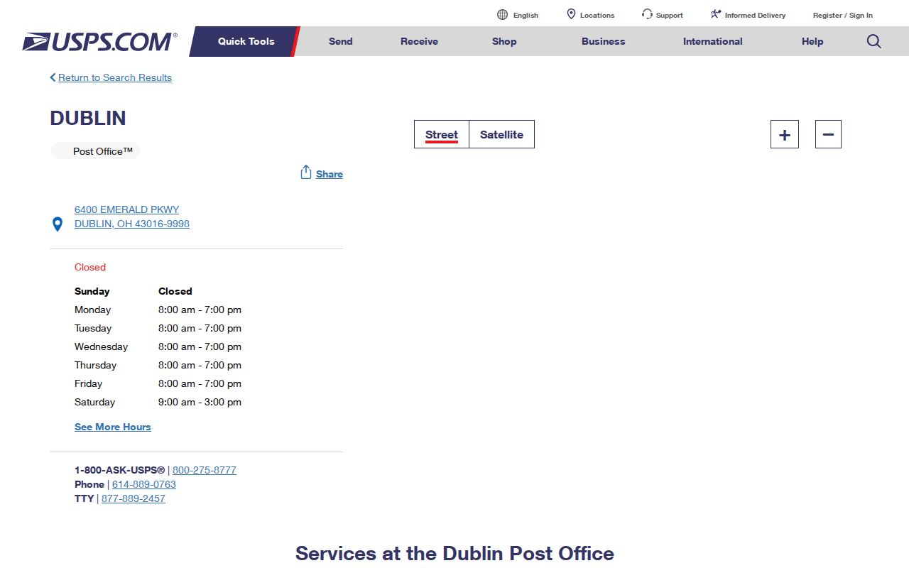
The Dublin reference does not make 43016 a single-municipality ZIP code.
USPS also provides the Hilliard facility reference for 43026. 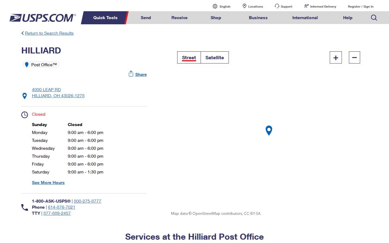
That postal reference sits alongside both municipal and unincorporated parcel examples.
Norwich Township ZIP Code Facilities
Postal facilities document delivery context, but they do not name the government serving a parcel. 43221 uses the Upper Arlington Post Office reference at 3700 Riverside Drive, Columbus, Ohio 43221-9998. 43228 uses the Columbus Post Office reference at 770 Georgesville Road, Columbus, Ohio 43228-9922. These are USPS facility references, not a shortcut to the municipal jurisdiction for a Norwich Township address.
The USPS Upper Arlington facility page supplies the 43221 reference. 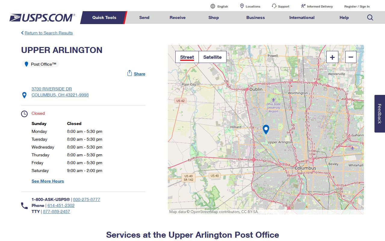
Norwich Township parcel examples under 43221 include unincorporated and Hilliard City contexts.
The USPS Columbus facility page supplies the 43228 reference. 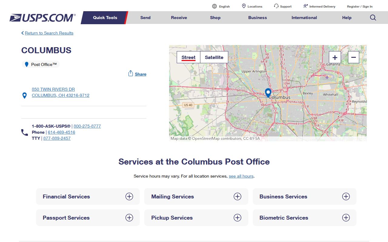
Parcel examples under 43228 likewise cross Columbus City and unincorporated contexts.
Norwich Township ZIP Code Address Check
Use the USPS form as a repeatable first check when the existing address may have a mailing-city mismatch. It accepts the delivery address, returns postal information, and leaves the property or records question for the appropriate local custodian. That division avoids confusing an address-format result with a land-record conclusion.
The USPS address lookup screen is the source for delivery-ZIP confirmation. 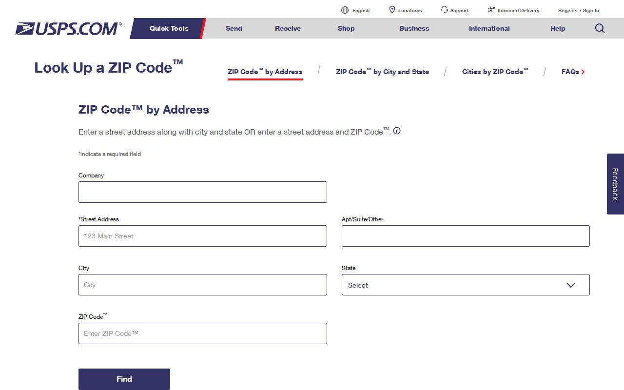
Use the returned ZIP with the full address, then continue with county parcel records for any jurisdiction or land question.
Norwich Township ZIP Code Parcel Workflow
A ZIP code narrows the postal question, then the property record answers the land question. The regular Auditor address screen has no publicly verified ZIP filter, even though underlying GIS parcel data contains ZIP values. It should not be described as a ZIP-wide people or property search. Use an actual address and follow the parcel method instead.
- Verify the delivery ZIP with USPS.
- Enter the address in Franklin County Auditor Address Search and record the parcel ID and situs.
- Open the Auditor Parcel Viewer to inspect layers and the mapped parcel.
- Choose permits, zoning, court, or records offices by parcel jurisdiction, not ZIP or mailing city.
- For historical work, use the historic street and name in the correct directory volume instead of projecting a present ZIP backward.
The Parcel Viewer supports By Value, By Shape, and By Spatial selection, plus identify and a link to Property Search. A technical user can encounter ZIPCD in public parcel-service fields, but that is not a normal Auditor ZIP filter and it does not establish a list of residents.
Once a parcel has narrowed the street question, the Street Directory provides the address-to-deed workflow without treating ZIP coverage as a street roster.
Norwich Township ZIP Code Boundaries
Norwich Township has overlapping geographic labels. The Franklin County Engineer map depicts a 2.50-square-mile current township and road-administration footprint with 13.563 township-controlled road miles and a 2024 MORPC population estimate of 3,699. Census TIGERweb's 2020 Norwich township county subdivision is a different construct, roughly 13.6 square miles with a 2020 population field of 37,900. Neither figure should be merged with the other or used as a ZIP boundary.
A parcel may carry Norwich Township with Hilliard City, Columbus City, a mailing-city name, county-controlled roads, or a tax district. A postal ZIP controls delivery. A parcel and legal description identify land. A municipal boundary guides office selection. A historical directory or census boundary defines its historical scope. The Norwich Township ZIP code directory keeps those layers apart so a mailing label never selects a records custodian.
Note: The operational township footprint and Census county-subdivision boundary are valid for their stated uses, but they are not interchangeable.
Norwich Township ZIP Code Terms
Postal terms prevent a common records mistake. They describe delivery organization, not a person list. Use them narrowly when checking a Norwich Township ZIP code or comparing it with a parcel record.
- ZIP Code
- A USPS delivery-routing code, not a township or city boundary.
- ZIP+4
- An added four-digit detail used for mail sorting within a ZIP code.
- PO-box ZIP
- A ZIP for post-office-box mail; none was confirmed as a Norwich Township assignment.
- Unique ZIP
- A ZIP assigned to one large organization; none was confirmed for Norwich Township.
- Carrier route
- A delivery route within a ZIP area, not a civil jurisdiction or directory.
Norwich Township ZIP Code Records Geography
ZIP coverage is most useful as a comparison tool. Two addresses can share a delivery code yet lie in different municipal, road, or tax contexts. The confirmed Auditor examples for all four Norwich Township ZIP codes show that a postal route can cross unincorporated land and incorporated areas. Use the ZIP result to check delivery, then read parcel fields and mapped layers for governmental context.
Records offices follow custody and jurisdiction, not postal naming. The Recorder keeps the recorded deed trail, the Auditor maintains the property route, and the relevant municipal or county issuer handles a zoning or permit question. For historical research, also check the coverage of the directory volume or census source, since postal routing is a modern delivery framework rather than a historic address key.
The county parcel service makes the distinction visible in its fields. SITEADDRESS, ZIPCD, tax-district description, and mailing-address fields can appear with property data, while the Parcel Viewer adds mapped land and boundary context. The research supports using those fields to compare geography. It does not support treating a ZIPCD value as an Auditor-screen filter or assuming that a postal value establishes property ownership, current residence, or a municipal service area. Confirm every conclusion against the actual property record and the office with custody of the next record.
The difference between a USPS match and the underlying GIS matters most when an address has several place names attached to it. USPS can return the correct delivery ZIP without deciding whether the parcel is in an unincorporated township area, Hilliard City, or Columbus City. The parcel detail may show a situs and tax-district context, while a mailing-address field is only correspondence information. Neither field substitutes for a legal description in a conveyance search. Keep the delivery result, parcel ID, legal description, and jurisdiction as separate notes. That recordkeeping practice makes it easier to explain why an address uses one postal label while its permit, zoning, or recorded-land route belongs with a different public office.
Norwich Township ZIP Code Limits
Ohio My Voter Information requires a first name, last name, and county. It is designed to check an individual's registration, precinct, and polling-place information, not to browse every person in a ZIP. Protected information and Safe at Home participants remain subject to confidentiality rules. Franklin County Board of Elections is the local custodian for a narrow registration or records question, including a specific request under Ohio Public Records Act procedures.
No official Franklin County parcel or voter regular-search screen documented in the research accepts a simple ZIP and returns a lawful resident list. Parcel GIS ZIP values support geography work, but they return property field values rather than a complete set of residents. Use ZIP information to verify delivery and organize a property question, then confirm the actual record with its custodian.